Like many cities, Troyes was built on water, first as a source of sustenance, then as an industrial resource, driving the development of the city’s tanning, paper-making, dyeing and textile industries through water wheels. Yet this is not just any old source of water, for the majestic River Seine itself flows through the city – the very same river baptised Sequana by the Gauls and Romans.
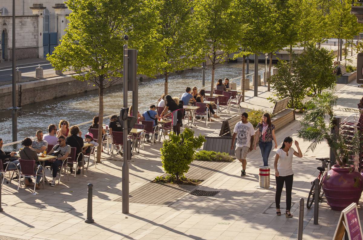
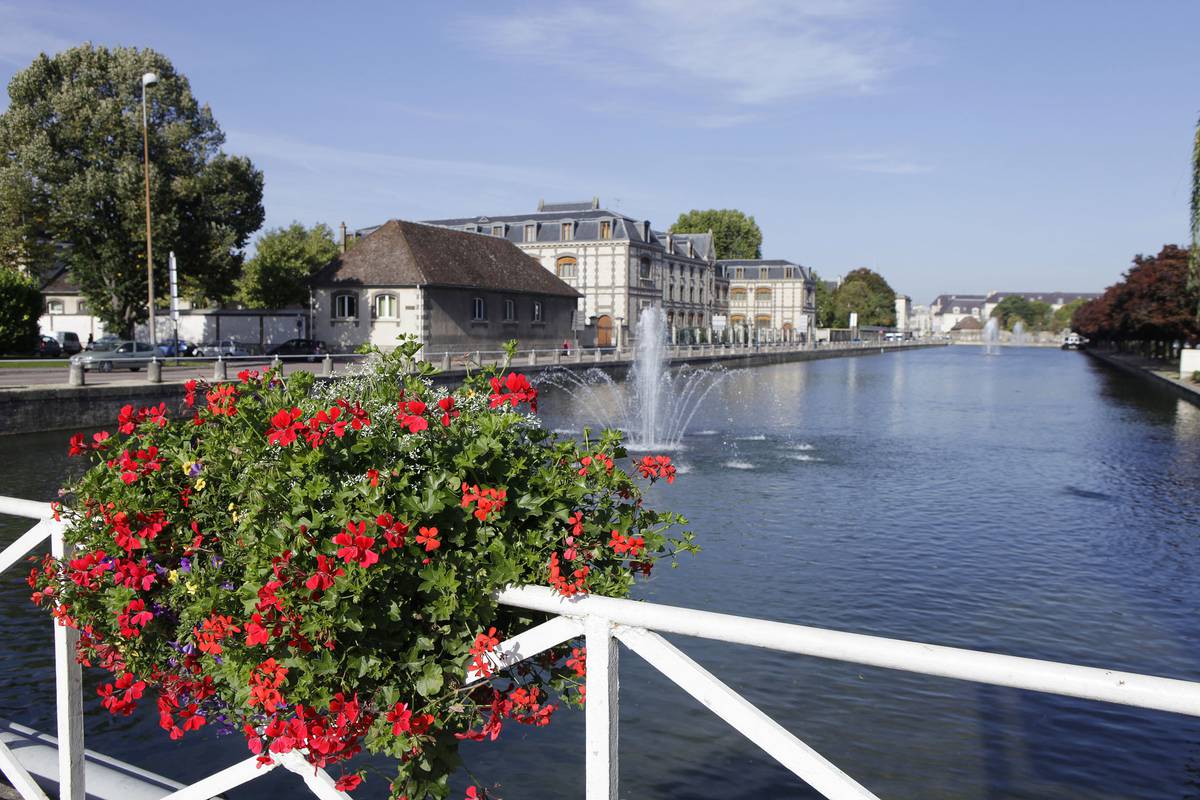
After several decades in the shadows, water has taken centre stage once again in Troyes, both as a vital asset and as a decorative medium. The banks of the old canal that passes through the city have become a favourite walking spot for tourists and natives alike. The reason for this sudden popularity is simple:
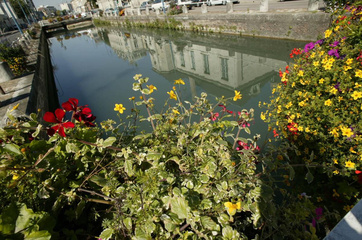
One of the banks of the canal was redeveloped for pedestrians and cyclists, and the concrete screed that covered part of the canal was removed, exposing the waterway to the elements and bringing it into view.

Troyes was once known as “Little Venice” and, in recent years, has undertaken efforts to reclaim its waterways, fountains and wells. The city features a complex water network of both hidden and visible sluice gates, plugs and spillways, which follow the contours of the famous champagne cork. In fact the city was built on and developed around one of the world’s most famous rivers: the Seine. This majestic river makes a brief stop-off in the city, where it breathes in the clean provincial air before making its way towards the capital.
In fact, to be more precise, Troyes is built on the Seines. For in the city, the grand river has various tributaries, meanders and offshoots. This unusual “riverscape” can be attributed to the Counts of Champagne, who “domesticated” the river by creating various canals to irrigate the city centre, supply water to their industries and protect the city from both floods and invaders.
It is interesting to note that the name of the ice rink “3 Seine”, alludes to this division of the river.
Troyes was once criss-crossed by a dense network of canals, brooks, streams, ditches and springs. Although undeniably picturesque, these features made the city an unsanitary place that was difficult to get around. For decades the preference was to hide these undesirable waterways from view. More recently, however, there has been a growing trend among the city’s planning officials to place water (and the Seine in particular) centre stage once again.
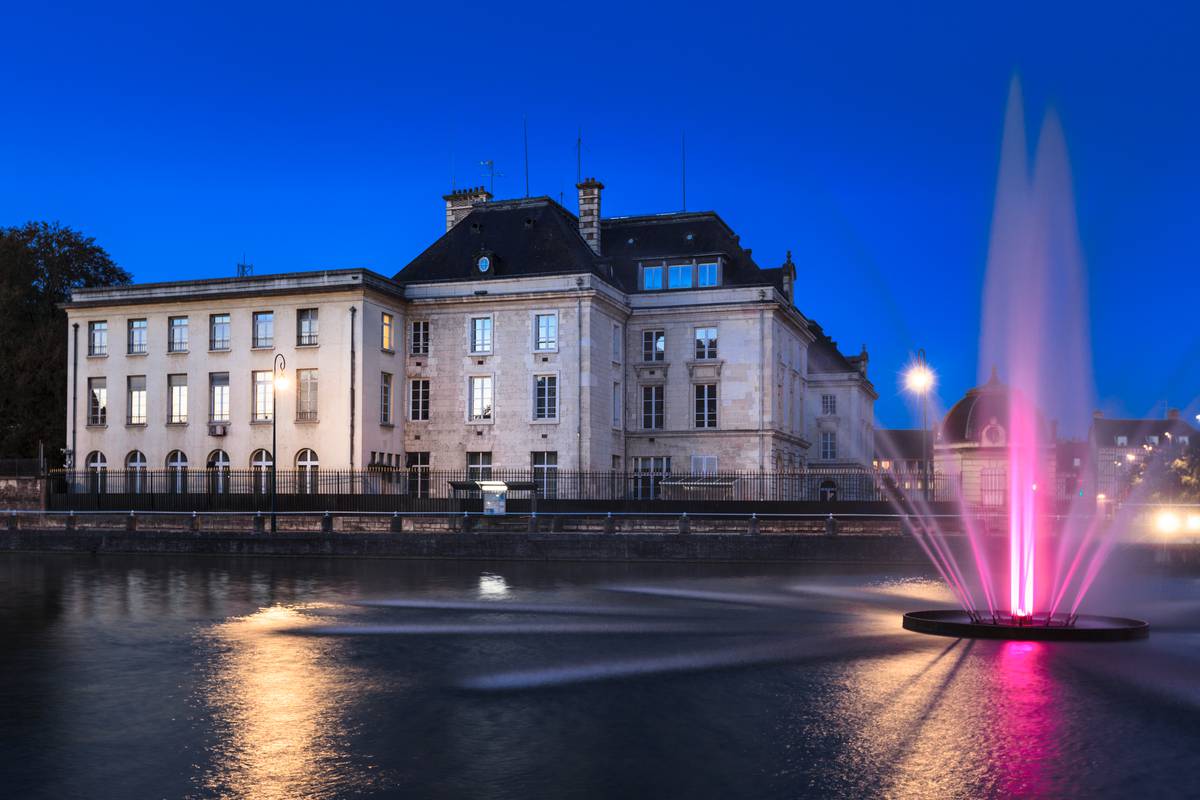
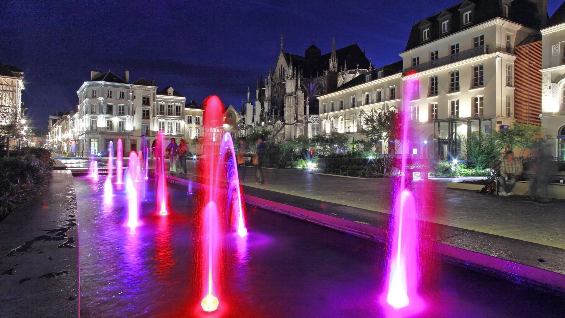
As a result, wells have begun to re-appear across the old town, in their original locations, while various renovation projects have included “water features” to add a breath of fresh air to the city. Examples include the front of the town hall building and throughout the city’s modernised squares, in front of the prefecture building or on the outskirts of the university campus, where the new water feature is a nod to the former canal that used to pass through this area.
Furthermore, major investment has been ploughed into strengthening the embankments that protect Troyes from flooding. This work came at just the right time, as the major flood of 2013 served as a timely reminder of the disaster that befell the city following the floods of 1910 – the very same floods that still remain raw in the minds of Parisians.